All buildingsAn ordinary building, picked at random
Electric Avenue
938 Smithe Street, Vancouver V6Z 3H8
 68 mroof, measured from the airN20 m
Measured drawing
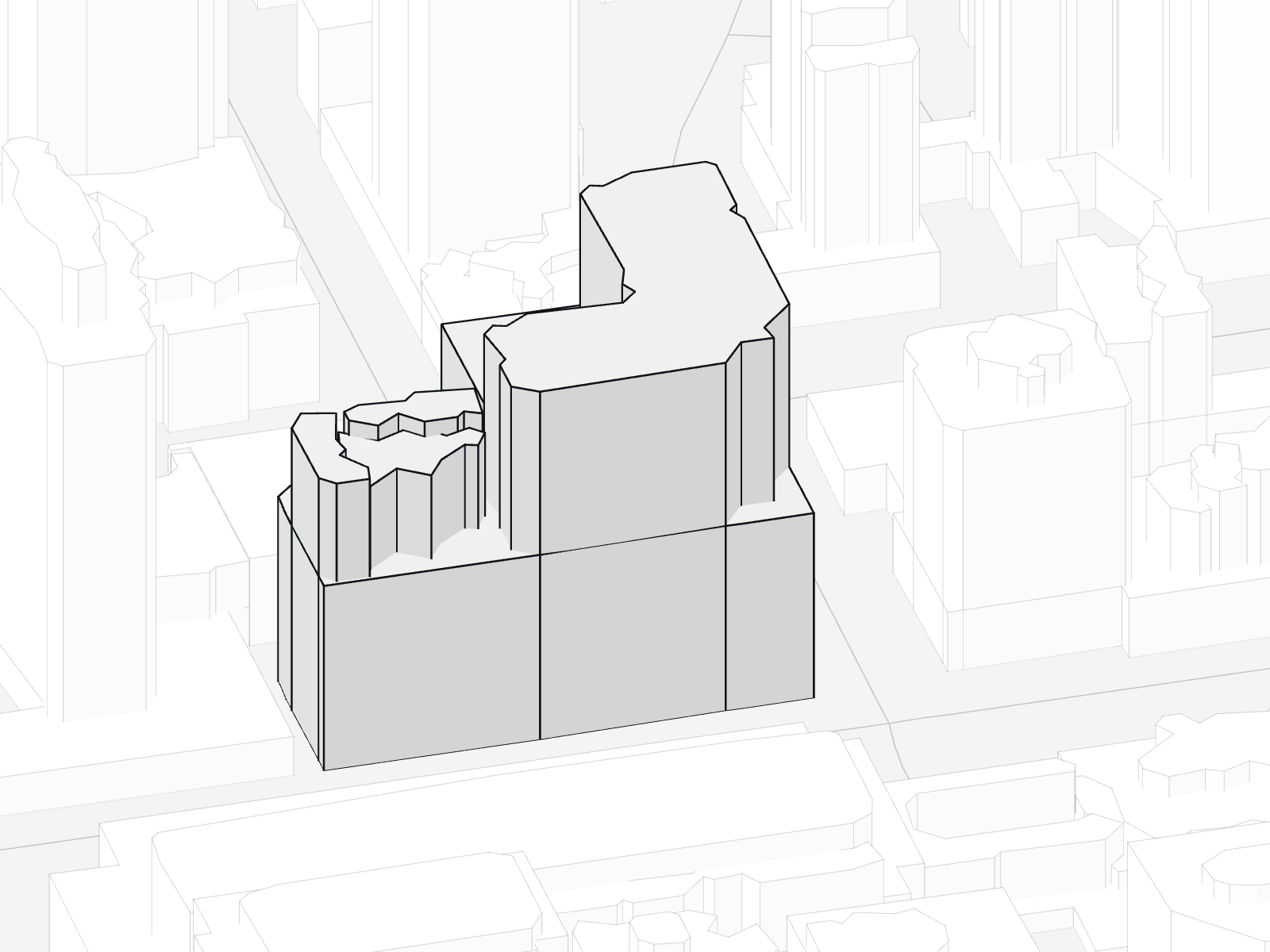
No free photo of this building found yet, so this is a drawing from measurements, seen from the south-east. The outline comes from OpenStreetMap and the roof heights from airborne LiDAR. Walls are drawn straight down from each measured roof.
Windows, materials and colour are not drawn, because no source here shows them. We add a photo when we find one whose licence allows it and that clearly shows this building.
Outlines and streets © OpenStreetMap contributors (ODbL). Roof heights: airborne LiDAR, Natural Resources Canada HRDEM (Open Government Licence – Canada).
What the record says
- Name
- Electric AvenueOpenStreetMap contributors, Building name on the map (ODbL)
- Address
- 938 Smithe Street, VancouverCity of Vancouver, Property tax report, open data, report year 2026
- Strata plan
- BCS1433City of Vancouver, Property tax report, open data, report year 2026
- Strata lots
- 456City of Vancouver, Property tax report, open data, report year 2026
- Year built
- 2005City of Vancouver, Property tax report, open data, report year 2026
- Zoning
- CD-1 (229)City of Vancouver, Property tax report, open data, report year 2026
- Assessed value, all strata lots, 2026
- $312.0 millionCity of Vancouver, Property tax report, open data, report year 2026
- Height measured from the air
- 68 mNatural Resources Canada, HRDEM airborne LiDAR, BC Lower Mainland project (Open Government Licence - Canada)